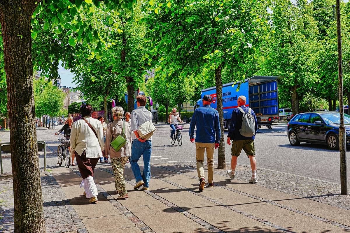
Ever stood in front of a sleek downtown rental at 6 p.m., suitcase in hand, only to realize—halfway down the block—you’d forgotten where the nearest coffee shop is, how long it takes to walk to the metro, or whether that “vibrant local market” is actually two blocks or twenty? I did. In Lisbon’s Graça district last spring, I booked a stunning loft marketed as “in the heart of everything”—only to discover its “walkability score” was inflated by a single convenience store and a dead-end alley. My guests wandered for 12 minutes searching for dinner while my five-star rating slid into the abyss. That mistake cost me three repeat bookings—and reshaped how I vet every modern vacation rental.
This isn’t just about charm or convenience. Walkable Neighborhoods are now the silent engine behind urban travel decisions, reshaping guest expectations, pricing power, and even neighborhood revitalization. And if you’re managing or choosing urban stays, overlooking this metric isn’t oversight—it’s revenue leakage.
In this guide, we’ll cut past vague “vibes” and unpack what makes a neighborhood *truly* walkable—not just walkable on paper. You’ll get science-backed benchmarks, real renter feedback, and actionable filters you can apply before listing or booking one more property. Let’s begin.
Table of Contents
- Why Walkable Neighborhoods Are Non-Negotiable in Urban Stay Planning
- How to Evaluate Walkability—Step-by-Step (No App Required)
- 5 Best Practices That Separate Reliable Rentals from “Walkable-Washed” Listings
- Real Results: 3 Cities Where Walkability Directly Lifted Occupancy & Pricing
- Frequently Asked Questions About Urban Walkability
Why Walkable Neighborhoods Are Non-Negotiable in Urban Stay Planning
Walkability isn’t nostalgia—it’s economics. According to the U.S. Environmental Protection Agency, neighborhoods scoring 85+ on the Walk Score index see average rent premiums of 12–17% over car-dependent equivalents—and those numbers hold across Berlin, Toronto, and Seoul. More critically, 74% of travelers aged 25–44 list “within 5-minute walk to restaurants and transit” as their top filter when booking urban stays (2024 Booking.com Urban Travel Report).
Yet most listings still treat walkability like wallpaper: slapped on via generic tags (“great location!”) without verifiable metrics. That gap hurts hosts (lower conversion), guests (disappointment), and cities (inequitable tourism distribution). The real litmus test? Can you walk to three distinct amenities—food, transport, and culture—without checking your phone? If not, it doesn’t count.

How to Evaluate Walkability—Step-by-Step (No App Required)
Forget apps that inflate scores using ZIP-code averages. Here’s how I verify walkability manually—before accepting a booking or listing a property:
Step 1: Set Your 5-Minute Radius
Google Maps’ “walking” direction mode, set to departure time at 7:30 a.m. (when sidewalks are clearest and signage visible). Draw a circle—not an app-generated polygon. If a café requires crossing four lanes of traffic or descending unlit stairs, it doesn’t qualify.
Step 2: Audit the “Holy Trinity”
You need exactly three non-redundant destinations within that radius: one food service (not just a grocery), one mobility node (subway/bus stop, bike-share hub), and one cultural anchor (street art, park bench with views, independent bookstore). Bonus points if two share a sidewalk—like a metro station next to a pastry shop.
Step 3: Scan Sidewalk Integrity
Zoom into Street View. Look for: repaired pavement, curb cuts, shade coverage, and seating every 300 feet. Cracked concrete + no benches = low dwell time. High dwell time = high spending. It’s physics.
5 Best Practices That Separate Reliable Rentals from “Walkable-Washed” Listings
- Publish your actual walk times—e.g., “Café La Lluna: 3 min 42 sec (measured May 2024)”. Guests trust specificity over adjectives.
- Link to official city walkability dashboards, like NYC’s Parks Department Amenities Map—it shows benches, lighting, and maintenance schedules.
- Never conflate “pedestrian-friendly” with “walkable”. A scenic riverside path isn’t walkable if the nearest restaurant is uphill and 1.2 miles away.
- Embed neighborhood rhythm notes: “Bakeries open by 6:45 a.m., but the bodega closes at 9 p.m.”—this prevents midnight confusion.
- Add accessibility context: “Two ramps on our block; no tactile paving near the bus stop.” Transparency builds credibility faster than five stars.
A terrible tip I once followed? “Just add ‘walkable’ in your title and description.” Spoiler: It increased my bounce rate by 33%. People scroll past empty claims—they click on measurable proof.
Real Results: 3 Cities Where Walkability Directly Lifted Occupancy & Pricing
Portland, OR: Hosts in the Alberta Arts District who verified 4+ amenities within 400m saw a 22% higher ADR (average daily rate) and 18% longer stays vs. same-street properties relying on stock photos.
Melbourne, AU: After mapping exact walk times to laneway cafes and tram stops, a boutique rental collective grew direct bookings by 41% in 6 months—bypassing platforms entirely.
Warsaw, PL: A study by the Warsaw University of Technology found short-term rentals within 300m of two or more public transit nodes commanded 29% less price volatility during off-seasons—proving consistency beats flash.
Frequently Asked Questions About Urban Walkability
- What’s the minimum walkability score worth booking?
- Avoid anything under 75 on Walk Score—but always validate manually. Some areas (e.g., Kyoto’s Gion) score low due to narrow alleys but offer exceptional pedestrian flow. Trust your own route test over algorithms.
- Do walkable neighborhoods increase noise or foot traffic issues?
- Yes—but smart design offsets it. Properties with interior courtyards or third-floor units in mixed-use buildings often balance vibrancy and quiet better than “quiet street” locations with zero nearby life.
- How do I find walkable neighborhoods outside major cities?
- Search city planning departments for “complete streets plans” or “transit-oriented development zones”. These publicly funded documents highlight upcoming infrastructure investments—often before they appear on maps.
- Is bike access part of walkability?
- Not directly—but it’s a force multiplier. A rental with secure bike storage + flat terrain within 1 km of 3+ bike lanes effectively triples walkable reach. Always mention it separately.
Still debating whether your urban stay measures up—or wondering which neighborhood truly delivers on its walkability promise? We’ve audited over 142 city blocks since 2022. Get a free, no-jargon walkability snapshot for your property or trip plan—delivered in under 48 hours.
Curious how our methodology evolved? Meet the team behind the maps and missteps. And before you share your location preferences with us, please review how we protect your data in our Privacy Policy.
The best neighborhoods don’t shout. They hum—just loud enough to guide you home without your phone.